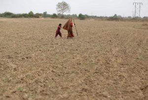

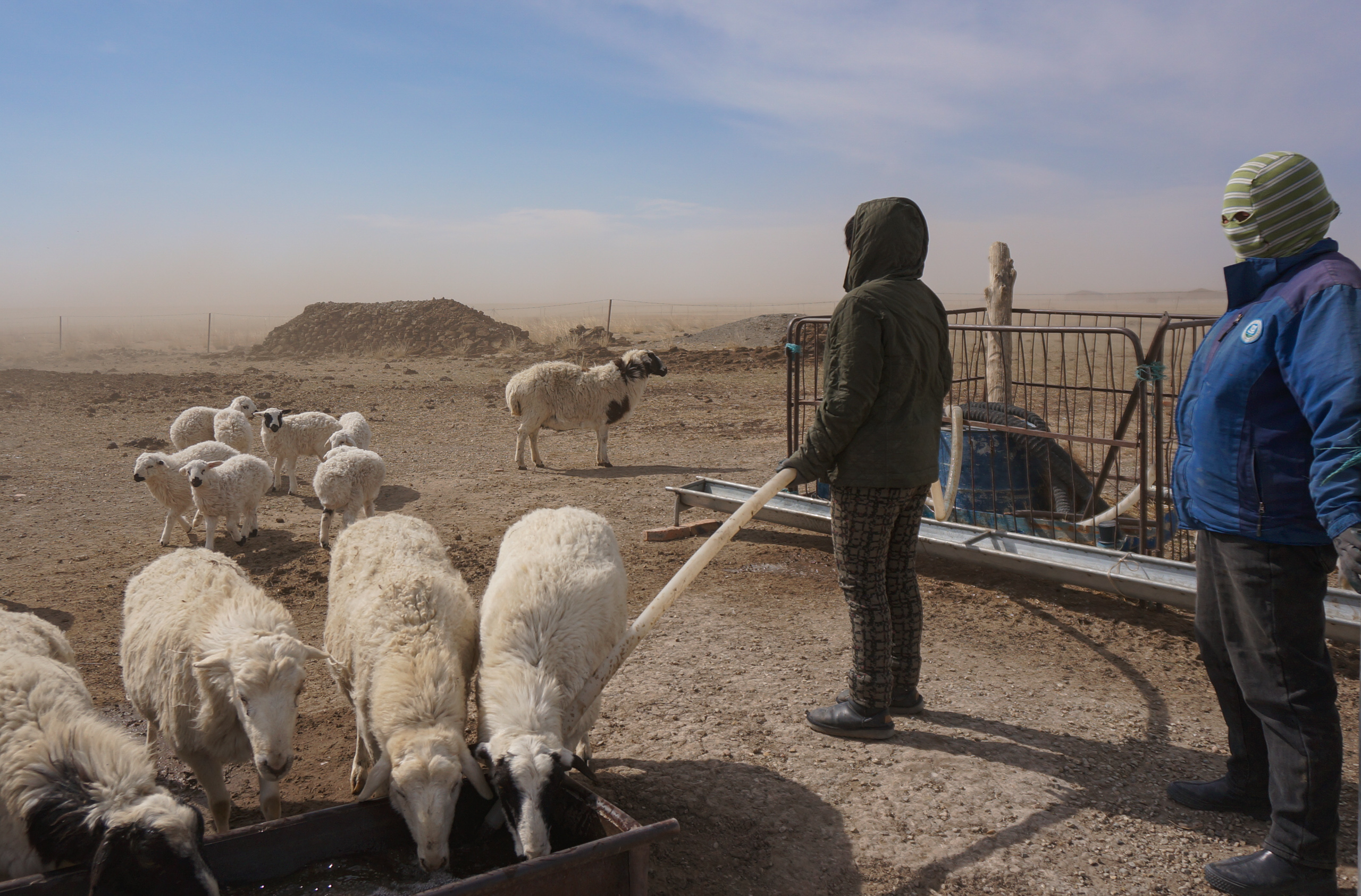
In early April, a strong gale built up near Daoleed Sharina’s home. She rushed her sheep into a pen and ran home. By the time she got inside, her eyes were in excruciating pain.
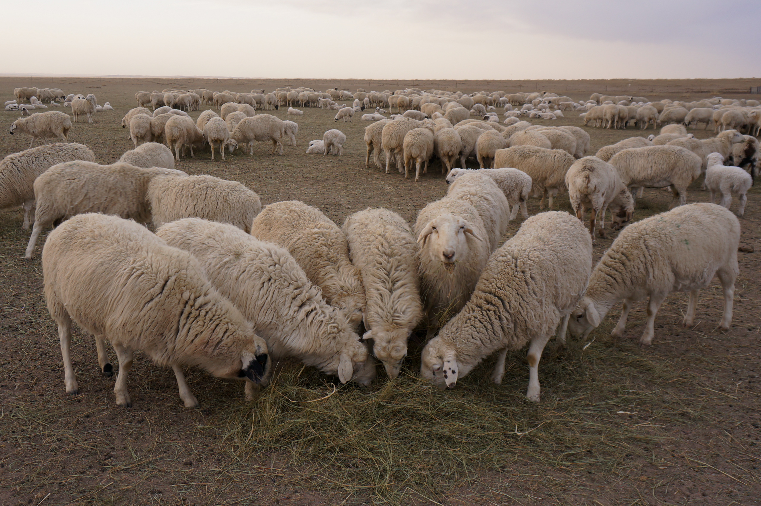
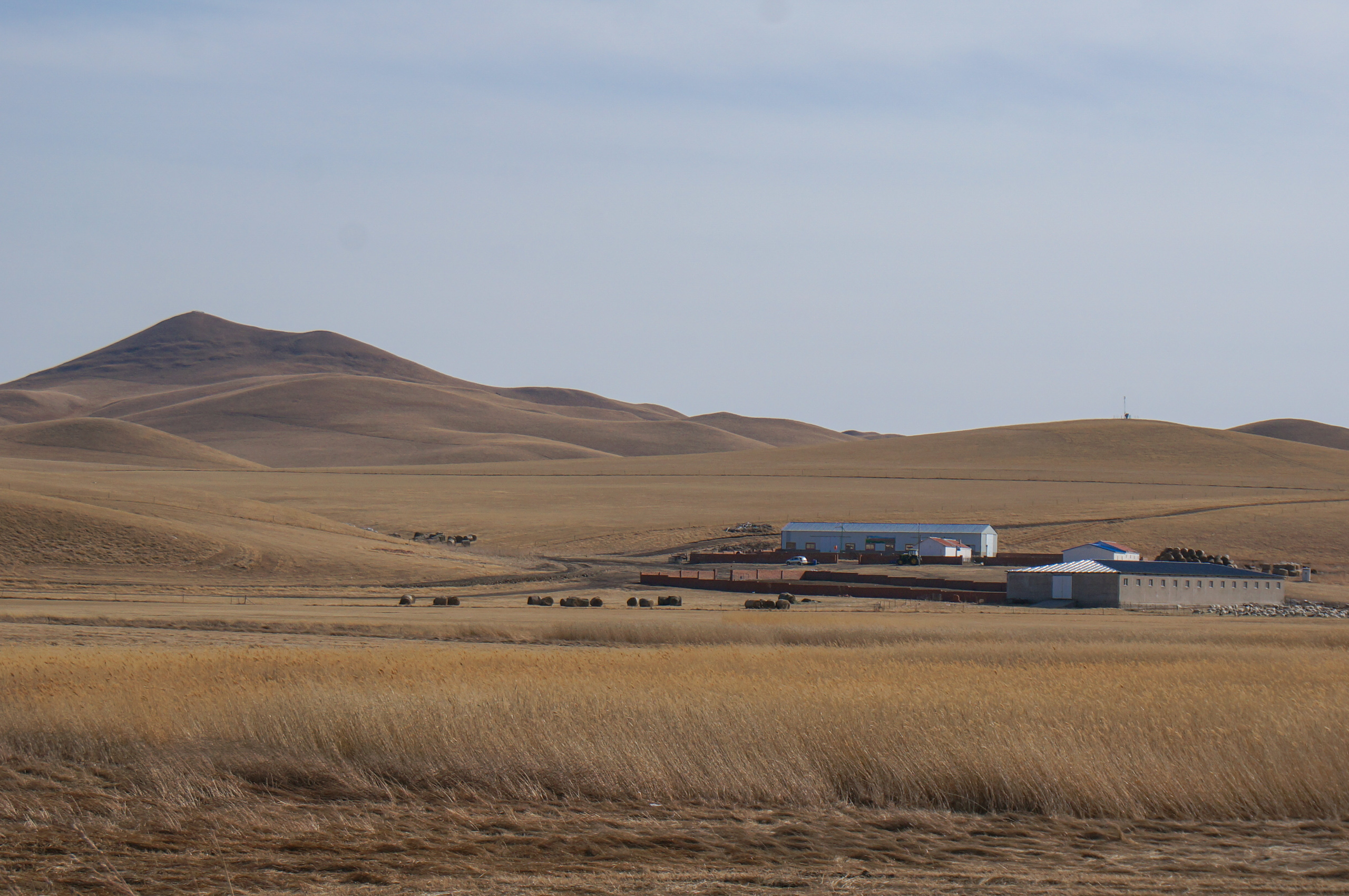
Livestock are Sharina’s family’s livelihood. They manage over 400 hectares of pasture and are responsible for thousands of sheep and cattle on their ranch in Bayan Gaobi Gacha, a herder’s settlement in East Ujimqin Banner on China’s border with Mongolia.
In recent decades, human activity up here on this section of the Mongolian Plateau, which contains the largest contiguous temperate grasslands in the world, has severely degraded the landscape. Now, due to desertification, residents of East Ujimqin, which is a county in Xilingol League (prefecture), often face strong winds laden with dust and sand during the spring.
Sharina’s sister-in-law, Sim (not her real name), notes that the sandstorms at the ranch are out of the ordinary. Now living in the county town, Sim regularly returns to her old home dozens of kilometres away to help her brother with the ranch. “The sand at [the ranch] really hurts when it hits you in the face. It’s not as painful over in town,” she tells China Dialogue.
“Here in the north, there’s so much salt. When the wind blows, the salt comes straight to our home,” Sim says.
Sim is referring to the salt dust carried by salt storms. Different from dust in typical sandstorms, the salt is particulate matter rich in fine sulphates and chlorides, lifted from dried-out parts of former lakes, salt-alkali land and desert. Salt storms are considered a direct threat to human health, and insufficient protection against them can cause respiratory diseases. Sharina’s family, for example, are constantly bothered by rhinitis.
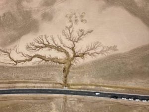
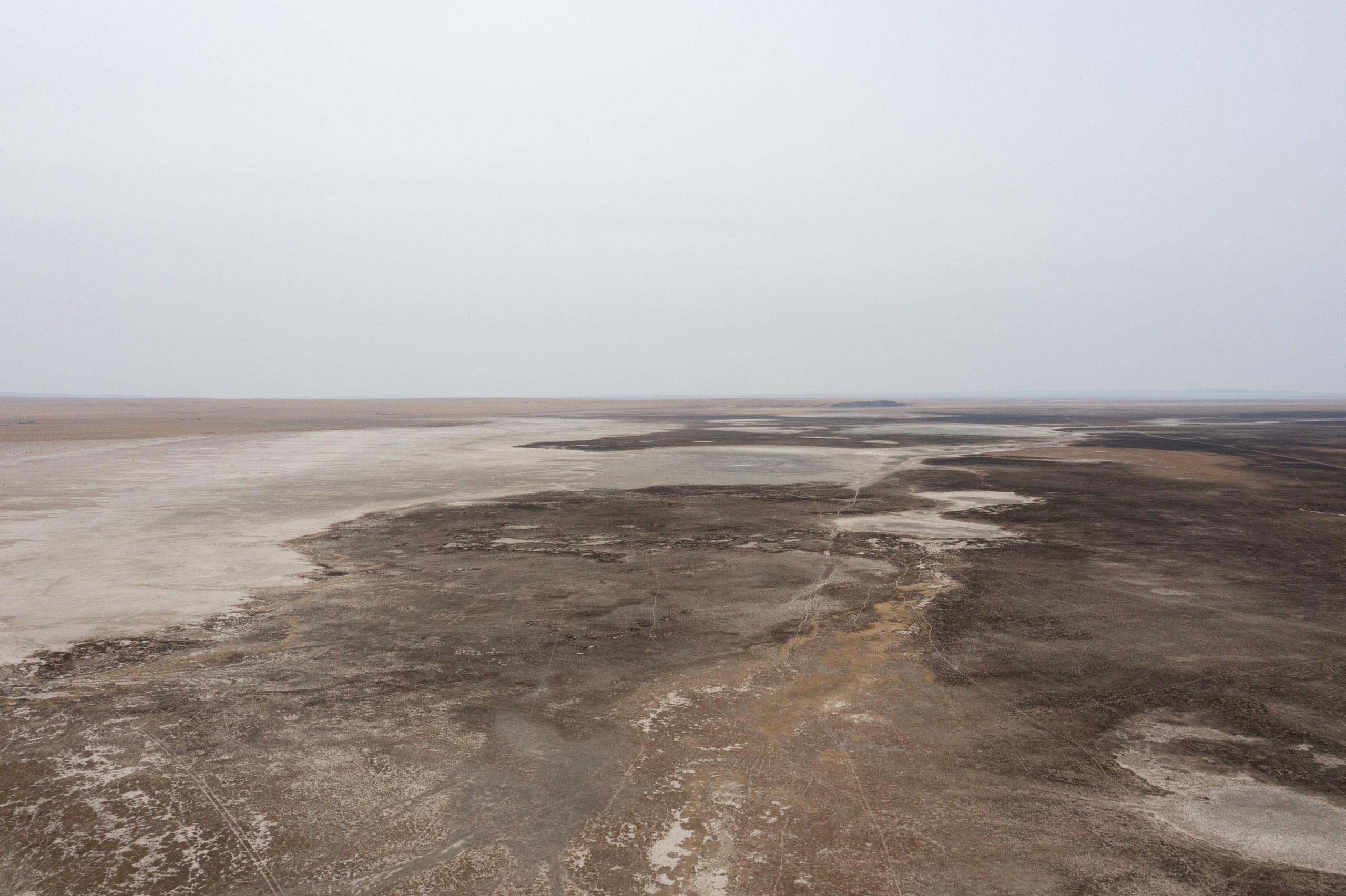
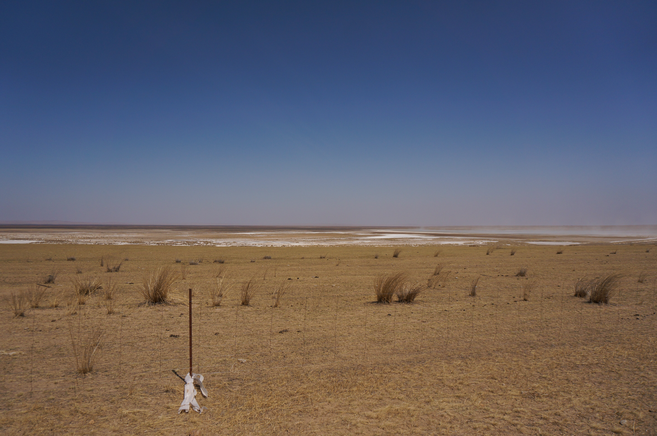
The family lives on the lower reaches of the Wulagai River, the largest inland river in Inner Mongolia. A few kilometres north sits the Wulagai Gaobi, a desertified expanse stretching as far as the eye can see. It was one of the largest lakes on the Wulagai, until it completely dried up when the river’s upper stream was dammed decades ago, leading to reduced flow that exacerbates the impacts of drought and excessive herding.
Disappearing wetlands
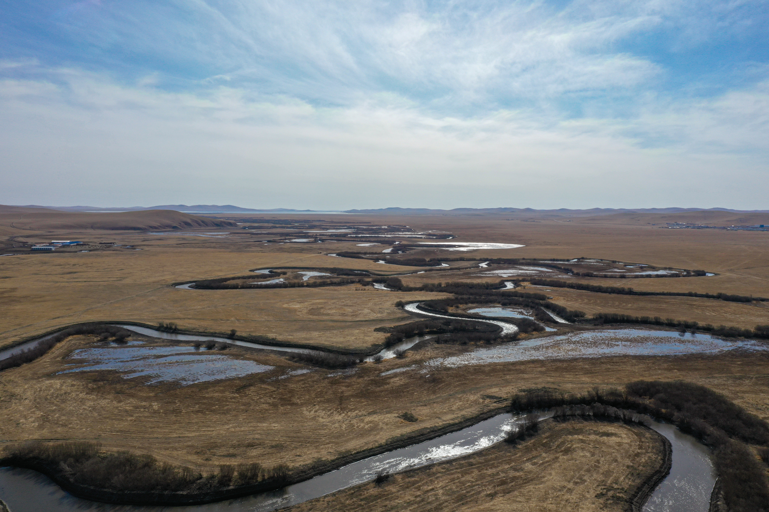
In May, Sharina’s husband Baorjigen Burentegusi drives to the former lake. The 52 year old passes large, sparse expanses of grass, eventually reaching a dry riverbed. Standing on the pale, hardened ground, he says: “This all used to be water.” When he was young, the area was a lake surrounded by reeds and lush grassland, he recalls. Now, it is a dried-up lake bed, surrounded by large swathes of salinised terrain covered in needlegrass and other salt-tolerant plants.
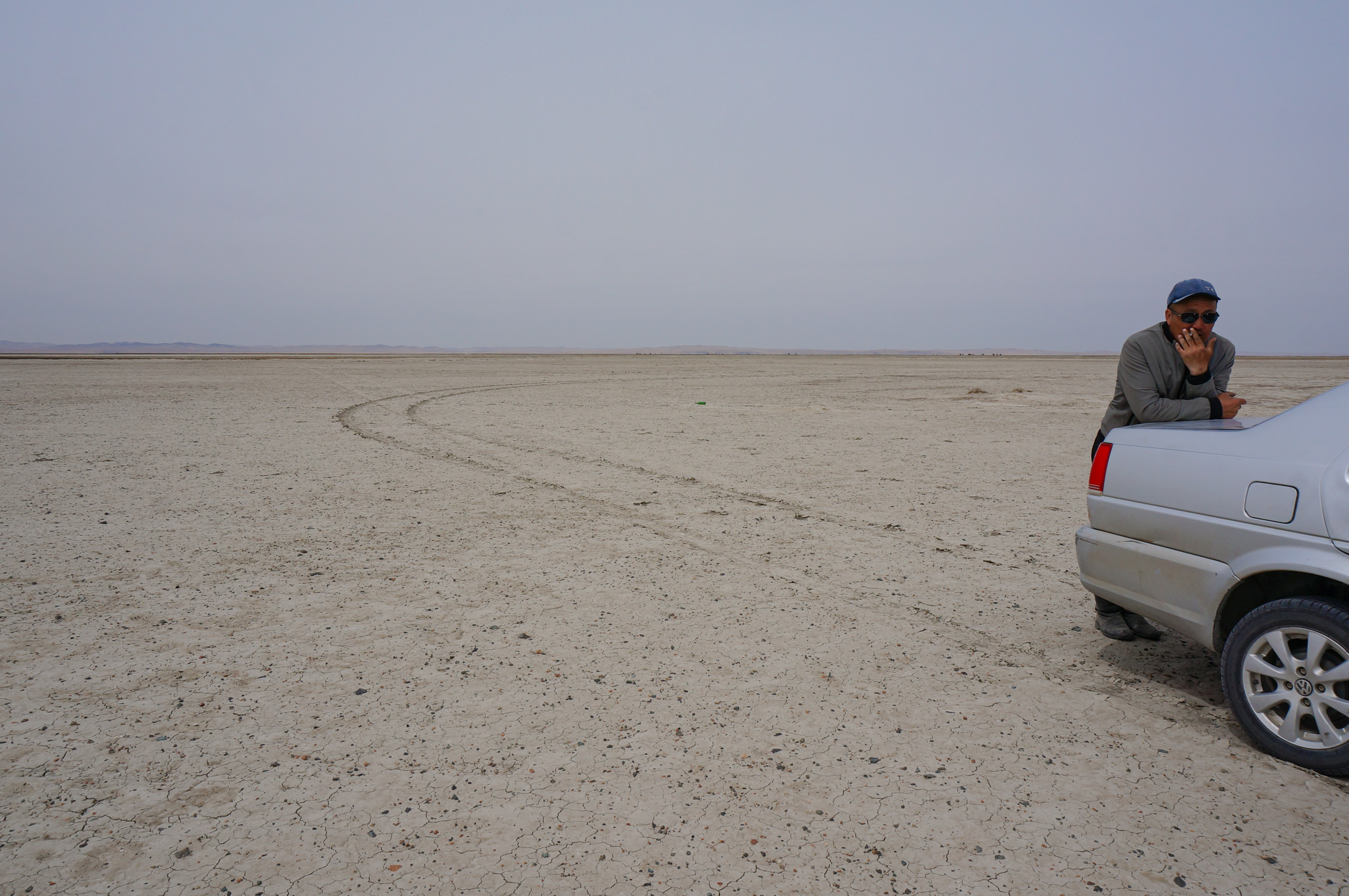
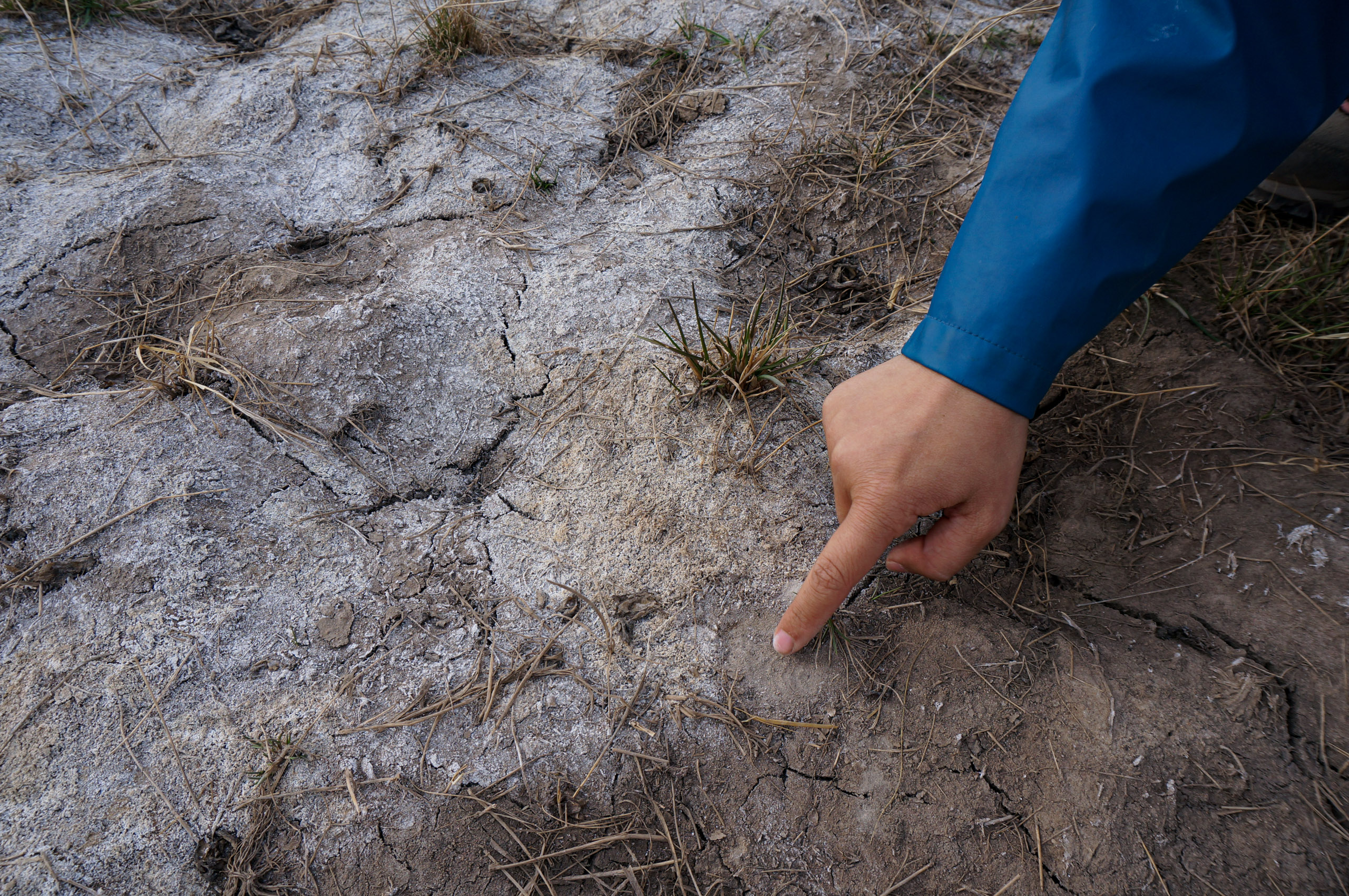
The 670 hectares of the Wulagai Gaobi are now a desert. Some parts of the former lake bed have hardened to the point that vehicles can drive on it. You can judge the water content of the soil by the colour of the grass: the driest earth is bare; where there is some moisture, large patches of black grass emerge; in moister areas, a dark-yellow grass can be found.
It is not only the Wulagai Gaobi that has dried up. So have other places on the river’s lower reaches, like the Yihe Nur. In Mongolian, nur means “big pond”, indicating these places were once lakes and wetlands. Within the Wulagai nature reserve, these have now practically disappeared. According to a 2011 study by the Wulagai reserve’s grassland management authority, by that year, the Wulagai grasslands had receded, desertified or salinised by a total of 98,800 hectares, accounting for just over 20% of the total grassland area.
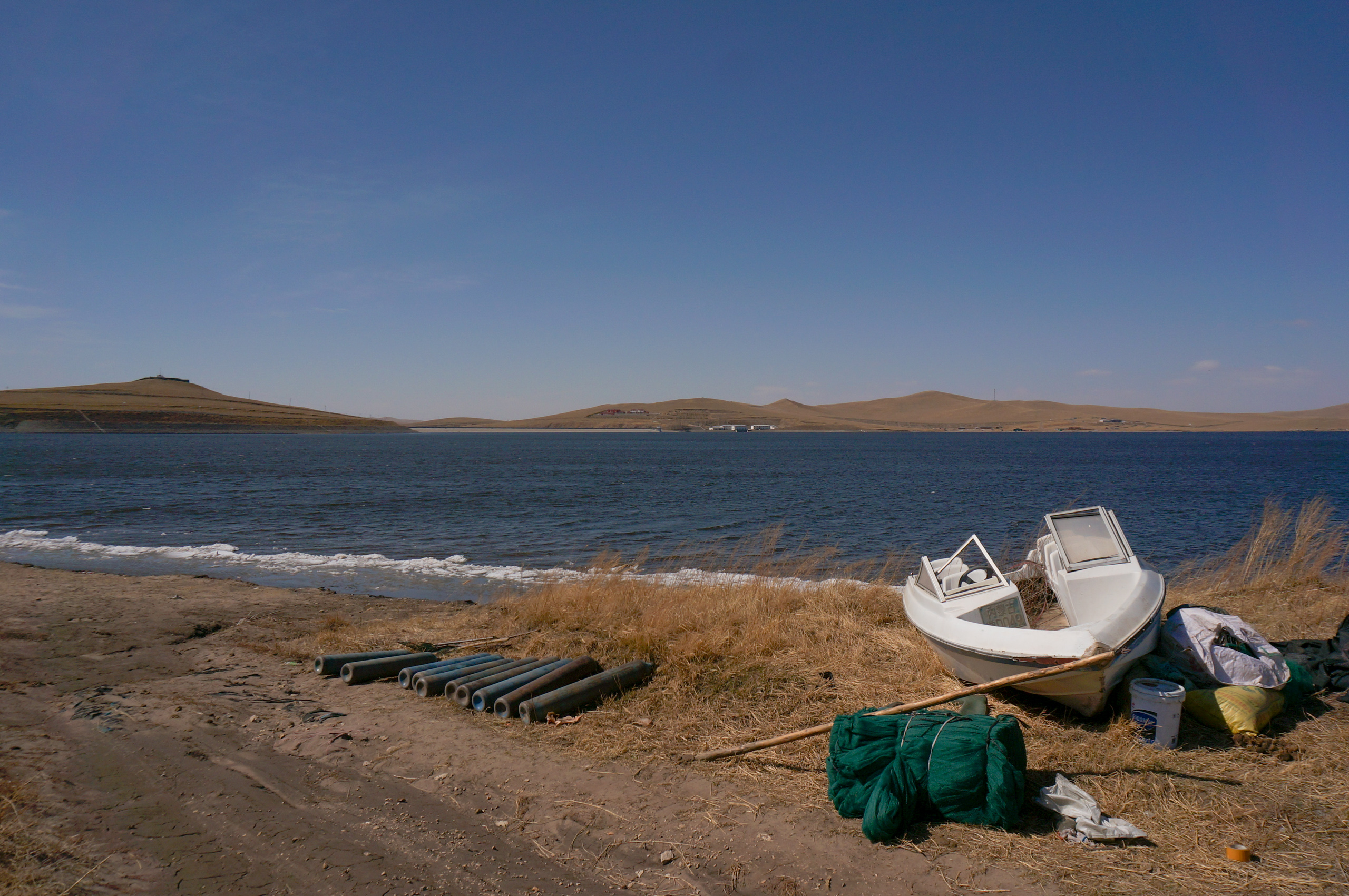
Sharply contrasting with the desolation around the Wulagai River’s middle and lower reaches, upstream of the dam, thriving wetlands with diverse vegetation can still be found. Jiuquwan (Nine River Bends) is one such spot that has become a famous tourist attraction. The floodplain there is full of wetland plants such as the common reed, cockspur grass and wormwood.
Controversy over the causes of deterioration
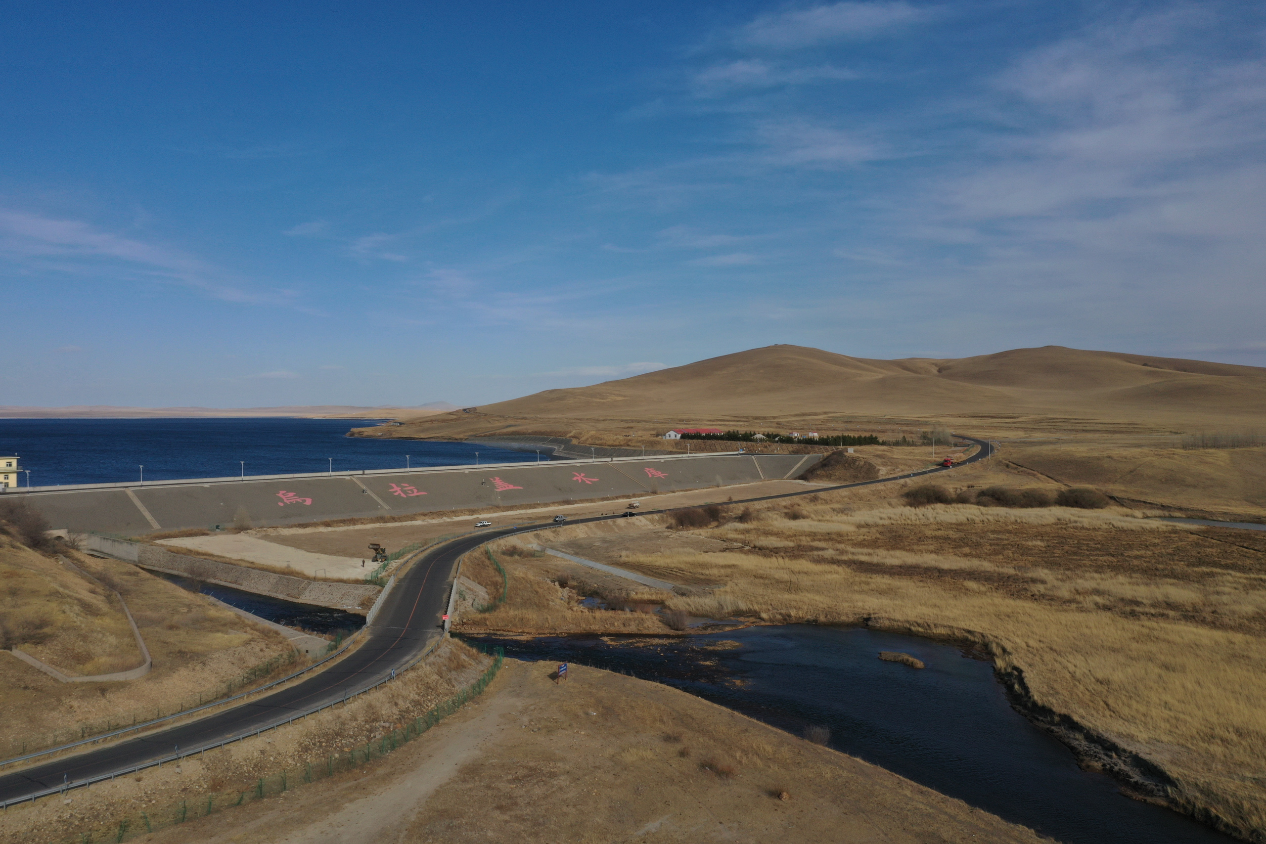
According to environmental groups and ecologists, wetland degradation on the lower reaches is a direct result of the Wulagai dam, which has reduced the river’s normal flow. The dam was built in 1980, with a severe flood destroying it in 1998. It was rebuilt and enlarged in 2004, and today the reservoir behind the dam can hold up to 250 million cubic metres of water. After the rebuild, the lower reaches of the river received little water for six successive years, according to a 2010 report in state media Oriental Outlook. Officials from East Ujimqin Banner sought help from authorities in Xilingol to coordinate water release, but the efforts were rejected by the reservoir management body.
The Wulagai management authority, which manages both the reserve and the reservoir, is affiliated with Xilingol League, and is equivalent to the county of East Ujimqin in terms of administrative jurisdiction. The reservoir’s water supply is key to the authority being able to further carry out its economic development plan, which includes building water-intensive heavy industry such as new coal mines and petrochemical plants. According to Caixin, although the coal-to-chemical base originally planned for the area is not yet operational due to a lack of funds, a new coal power project was completed in 2021, with the reservoir as its back-up water source.
A 2015 report by CCTV News, China’s largest TV news channel, noted that, to meet the industrial developmental needs of the Wulagai nature reserve and even the entirety of Xilingol League, the dam rarely released water downstream after its reconstruction. Due to high evaporation rates on the Mongolia Plateau, the watercourse downstream dried up very quickly, with many wetlands shrinking severely and even degrading into deserts.
After public exposure and criticism from state media about the degradation, the government of the Inner Mongolia Autonomous Region launched an internal investigation into its causes. According to the resulting report released in 2015, parts of which were published by the media, the authors said the reservoir hadn’t actually been supplying water to the industrial users, as “no project had sought a permit for water consumption”. Instead, it had been mainly functioning to simply “hold water”. It also said that wetland degradation could be related to various factors, but “natural impacts should be the main ones”.
The government report has not been accepted by ecologists who follow this issue closely. “At that time, many voices claimed that grassland degradation was due to the climate. Our research suggests that it was caused by humans,” said Yi Jin, a retired professor at Inner Mongolia Agricultural University who studies grassland ecology on the Mongolian Plateau. She told China Dialogue that the drying up of the Wulagai Gaobi, the Yihe Nur and other lakes is “directly related” to the damming of the river. According to Caixin, since 1998, the Wulagai reservoir has only released water downstream between 2012-2014 and between 2018-2021. The Baorjigen family also told China Dialogue that herders near their home had approached authorities in Xilingol to demand water, after which it temporarily flowed.
From 2006 onwards, a research team led by Yi Jin conducted several surveys on vegetation in the Wulagai River Basin. They found that within five years of cutting off the river flow, vegetation in wetlands on the middle and lower reaches of the Wulagai was already showing signs of rapid degradation, and that plant diversity had been severely reduced. Signs of desertification were also more obvious downstream.
Yi Jin and her students published a paper in 2011 based on their fieldwork. Vegetation had almost completely disappeared in all six of the ranchers’ settlements they had studied on wetlands along the Wulagai’s middle and lower reaches. With desertification, salt-tolerant vegetation, as well as those that thrive in sand, had gradually replaced the once-rich plant communities, and the number and proportion of annual herbaceous plants were significantly higher than that of perennial herbaceous plants – an indication of degradation. The paper also warned that the disappearance of several lakes had led to the exposed lake basins becoming a major source of local sandstorms.
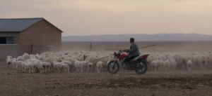
In addition to dams cutting off water, overgrazing is also considered by researchers to be an important factor in wetland degradation. This issue is closely linked to the policy of “enclosed grazing” – the fencing in of livestock – that has been in place for years. Wu Enqi, a doctor of botany at Inner Mongolia Agricultural University, has compared grasslands on both sides of the China–Mongolia border. He believes that Inner Mongolia, dominated by sedentary grazing and relying mainly on underground water resources, has seen far more serious grassland degradation than Mongolia, where most grazing is nomadic and mainly uses water at ground level. Land in the former is much more severely overloaded than in Mongolia.
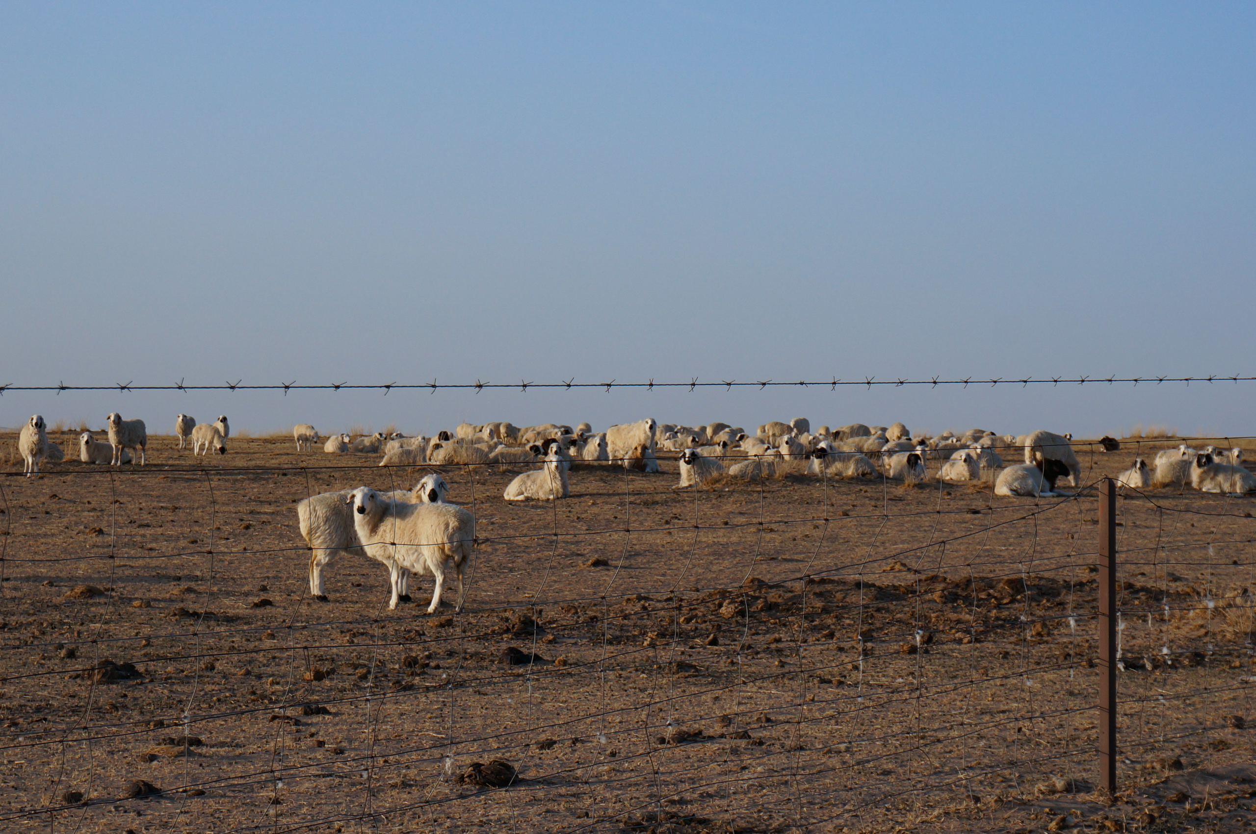
In the herder settlements closer to the Wulagai Gaobi, pastures show obvious signs of degradation. Vegetation was still scarce on Sharina and Burentegusi’s pastures at the end of April, with dust taking off whenever the wind picked up. When Burentegusi was driving the sheep back to the pasture, the clouds of dust they kicked up made it difficult for him to breathe.
A 2022 joint study by researchers from Arizona State University and Beijing Normal University, which drew on satellite data, noted that in 1979-2016, the Wulagai River Basin lost about 55% of its wetlands, 76% of its shrubbery and 46% of its sand vegetation. Its main vegetation had also changed from that of meadow steppe to dry steppe. They found that the building of the dam, as well as coal mining and overgrazing, were all direct drivers of this environmental change.
After decades of contention, in November 2021, Inner Mongolia’s Forestry and Grassland Bureau stated in a reply to the Chinese People’s Political Consultative Conference (CPPCC) that it was carrying out a feasibility assessment into dismantling the Wulagai dam. Previously, Inner Mongolian ecologist and CPPCC member Liang Cunzhu had submitted a proposal at a conference meeting recommending that the dam’s impact on Wulagai wetland ecology be evaluated, along with the feasibility of dismantling it.
Two years later, the bureau has still not announced the conclusion of its assessment.
Another governmental department’s attitude to the reservoir was much clearer. In 2021, the Inner Mongolian Department of Ecology and Environment said that, after consulting the autonomous region’s Department of Water Resources, it believed the reservoir was an integral part of the river basin’s flood-control system. It argued that demolishing it would have “catastrophic consequences for the lives, property, and ecological security” of residents downstream.
Life in salt-alkali sandstorms
Zhou Zhen (not their real name), an ecological researcher and director of the habitat project at the environmental foundation Let Birds Fly, notes that the Wulagai wetlands and river basin lie on an important flight path for migratory birds. Wetland degradation and desertification have damaged this habitat, affecting the birds’ food sources and ability to rest.
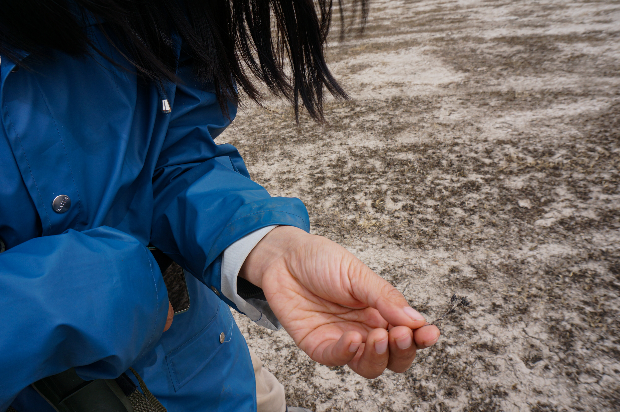
In May of this year, Zhou went to the Wulagai Gaobi to investigate local vegetation and salt storms. They saw how, not far from the herders’ homes, dust formed a belt of white smoke in the wind. Echoing experts such as Yi Jin, Zhou believes that since turning into a dry basin, the Wulagai Gaobi has become a source of salt-alkali dust whenever it encounters strong winds.
There are many factors behind the formation of salt-alkali land, but the most important is a lack of water, whether because of evaporation causing lakes to dry up, over-irrigation for agriculture in arid areas, or overextraction for industrial purposes. “More water is evaporating than being replenished, resulting in a continued concentration of salt,” said Zhou.
Living on salinised land, residents need to face the harsh reality brought about by the changing environment. In addition to the salt storms that frequently arise in spring, as salinisation spreads, finding healthy grass has also become a problem. Orduqin Buyinmanduh, 21, told China Dialogue that since 2016, the grass in front of his home, just a few kilometres from the Wulagai Gaobi, has stopped growing.
His neighbour says that local herders often discuss this year’s stronger winds and smaller supply of water. When water is released upstream during rainy seasons, the lakes seem to reappear, but this is only ever a temporary occurrence, the neighour notes.
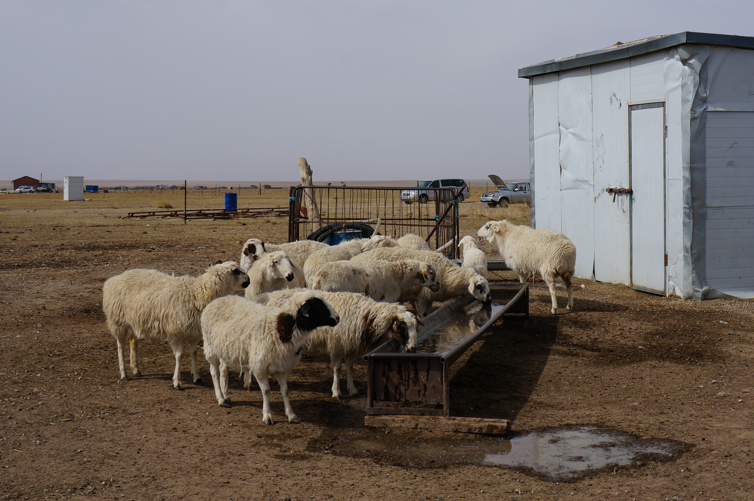
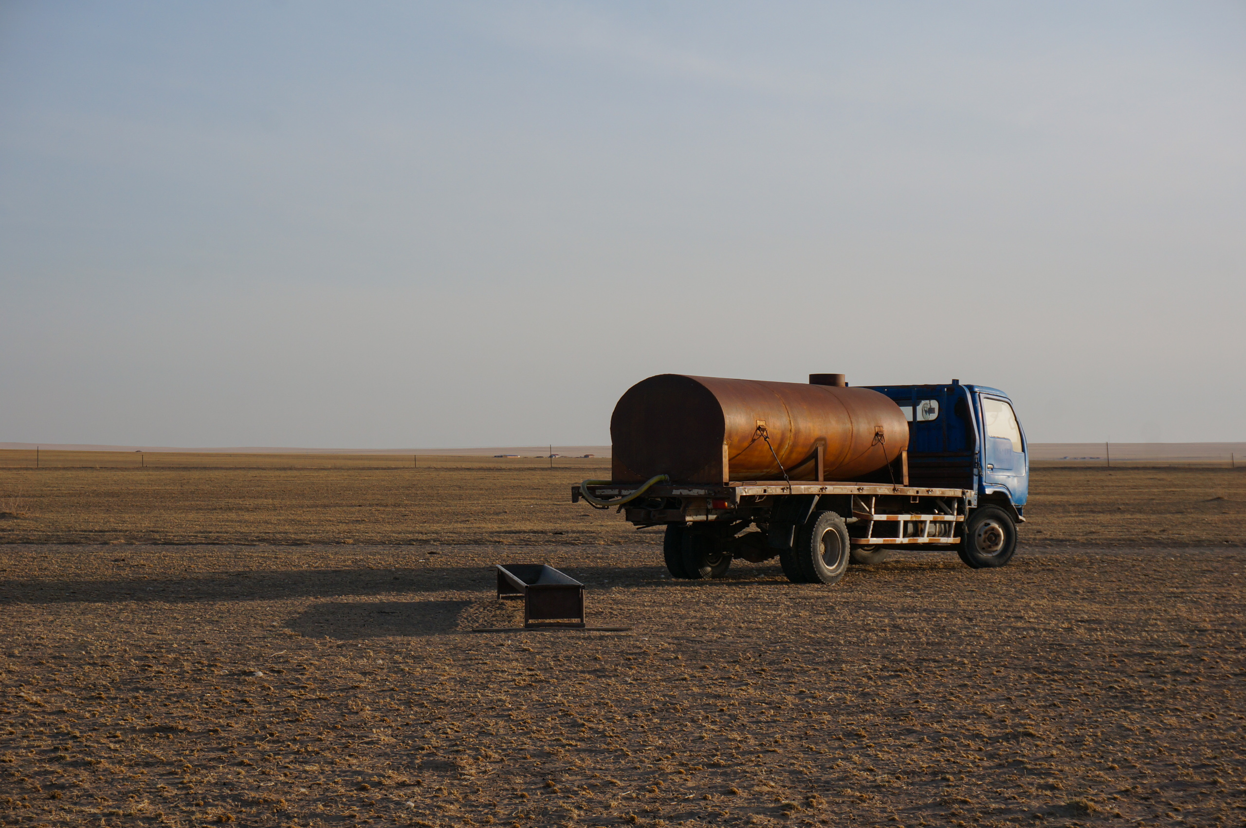
Nowadays, Sharina and Burentegusi have to buy hay to feed their livestock due to insufficient growth on their own pastures. They said that in the spring, within a month, their animals had almost finished 100 purchased bales.
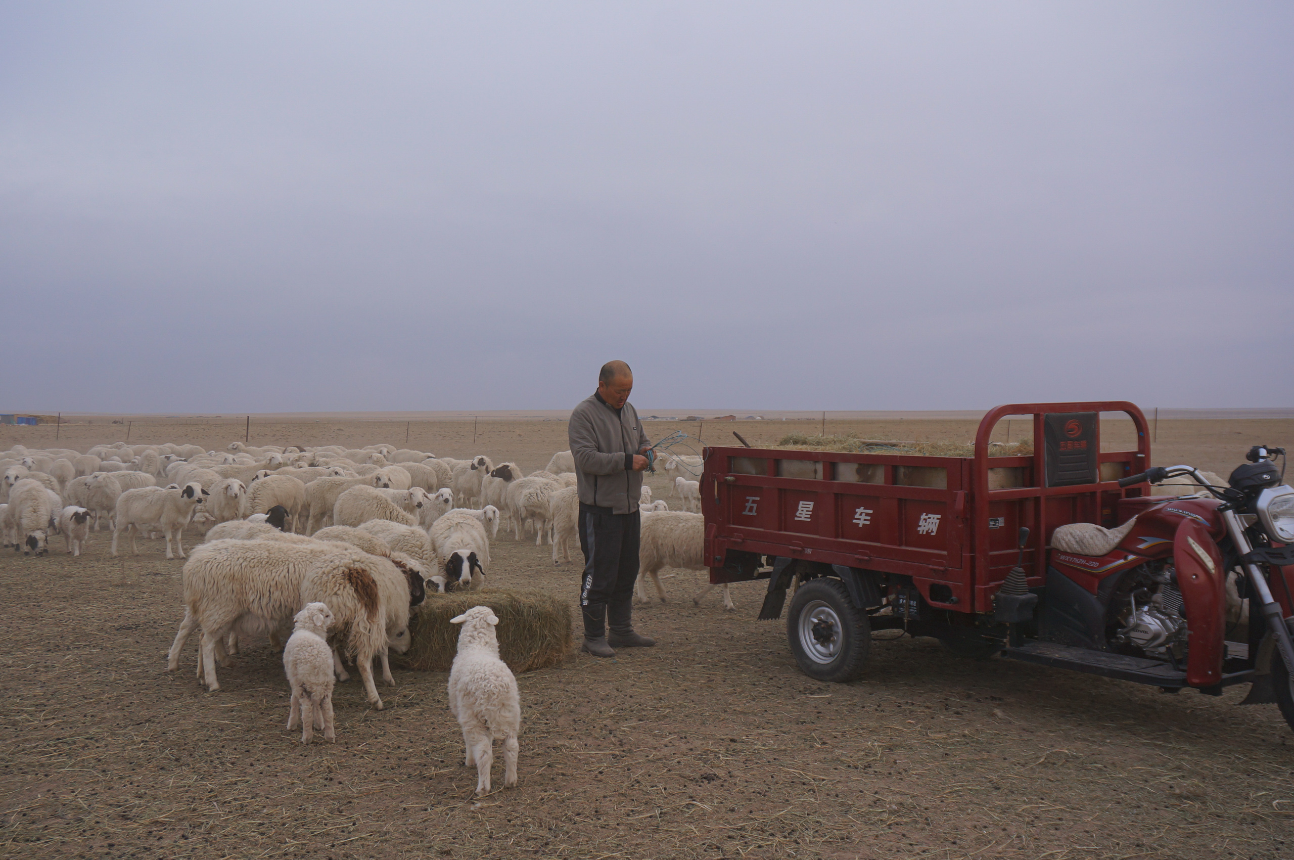
Sharina’s sister-in-law says that in previous springs, there was no need for them to specially source hay and fodder for the animals because there was enough grass in the pastures left over from the year before, both for harvesting and grazing. Now, not only do they need to buy grass, but must also give the animals fodder. “I don’t know why the animals are losing weight after eating the grass,” she says. “The grass is not as good as before.”
The lack of local grass has given rise to a market for it. People have created businesses selling cut grass and hay bales; there are even specialist delivery services. These days, the Baorjigen family spend at least 70,000 yuan (US$9,700) on buying and processing grass in one season alone.
Since 2021, Zhou has come to the Wulagai Gaobi twice to conduct research into the impact of salt sandstorms on the loss of pasture grass. While salt dust does not comprise the majority of dust in the sandstorms, it has a direct impact on air quality and human health in the surrounding environment. This has not been paid sufficient attention for a long time, according to Zhou.
Zhou believes there are still big gaps in China’s understanding of salt sandstorms. Even when it comes to the Wulagai Gaobi, a massive area of salt-alkali land covering 670 hectares, there is yet to be any systematic research conducted on the risks and incidence of such storms.
“For example, under what meteorological conditions can salt storms occur on the Wulagai Gaobi? At what scale will different wind speeds affect pastures and herders?” asks Zhou. “We still haven’t clarified these basic questions. The succession of vegetation around salt-alkali land and the changing extent of salinisation on the gaobi all need urgent attention.”
As for the question of whether to keep or dismantle the Wulagai dam, Zhou believes more scientific research is needed first to determine the current degree to which it affects salinisation downstream, and its impact on herders. This can inform a decision over whether to get rid of it or implement ecological-revitalisation measures to restore degraded wetlands and pastures, they note.